1.5b Geography and Environment worksheets for Grade 1
6 filtered results
Difficulty Level
Grade
Age
-
From - To
Subject
Activity
Standards
1.5b
Maps are used to locate important places in the community, state, and nation, such as capitals, monuments, hospitals, museums, schools, and cultural centers.
Favorites
With answer key
Interactive
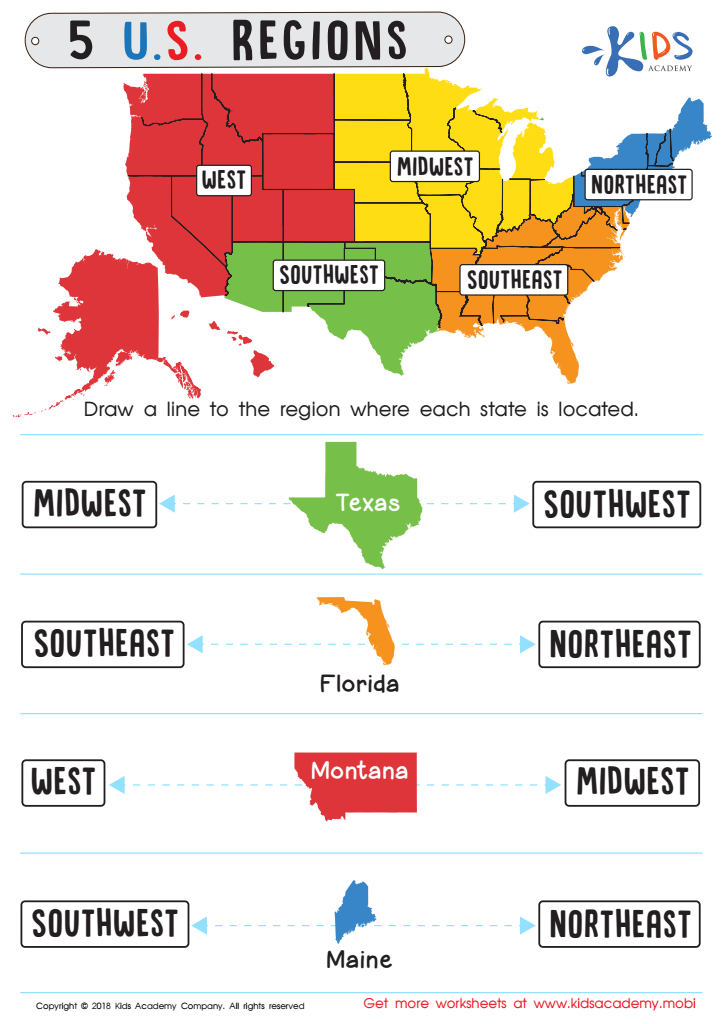

5 U.S. Regions Worksheet
Familiarize students with states & capitals in your country before starting. Look at the map and ask kids to name some states. Then have them draw a line to the region each state is located in. This'll help them recognize the different places and make the exercise easier.
5 U.S. Regions Worksheet
Worksheet
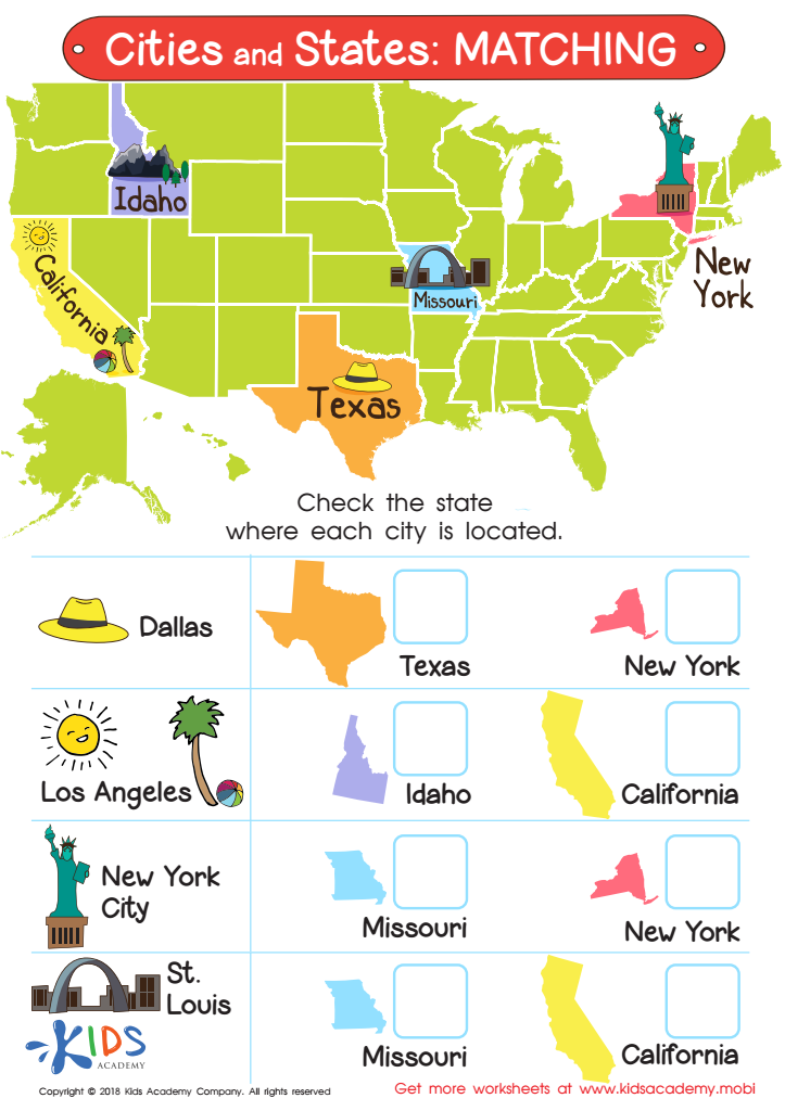

Cities and States: Matching Worksheet
Ask your child if they can name some of the states in your country. If they can, great! If not, use this worksheet to have them learn some states. Show them the map and ask them to observe the shape and color of each state. Then, have them answer the questions by checking the state where each city is located.
Cities and States: Matching Worksheet
Worksheet
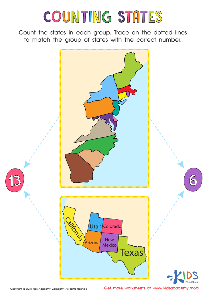

Counting States Worksheet
This fun and educative worksheet helps your kids learn more about their country. Ask them if they can name all the states, then help them trace on the dotted lines to match each state group to the correct number. Counting together is a fun way to reinforce learning.
Counting States Worksheet
Worksheet
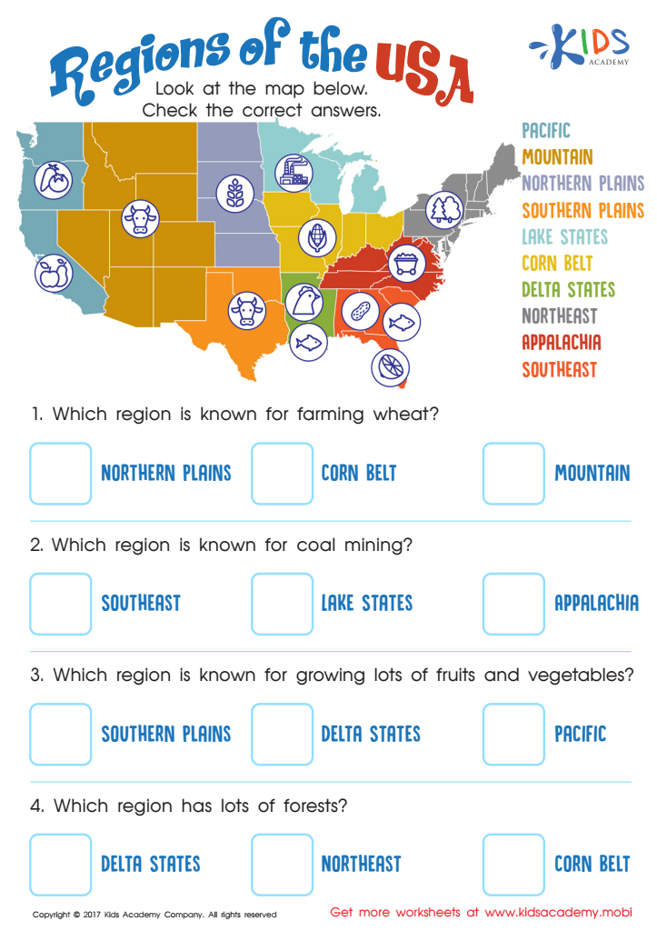

Regions of the USA Worksheet
Help your child explore the US with this regions of the United States worksheet! They'll learn about the diverse cultures, climates and purposes of each region. Make geography and US history fun with this educational exercise!
Regions of the USA Worksheet
Worksheet
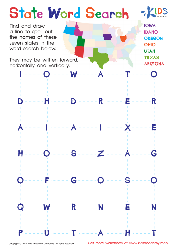

State Word Search Worksheet
Take a road trip across the US with this word search to help your child learn how to identify states. This engaging puzzle makes it easy to remember the 50 states. Get your kids to have fun and learn at the same time!
State Word Search Worksheet
Worksheet
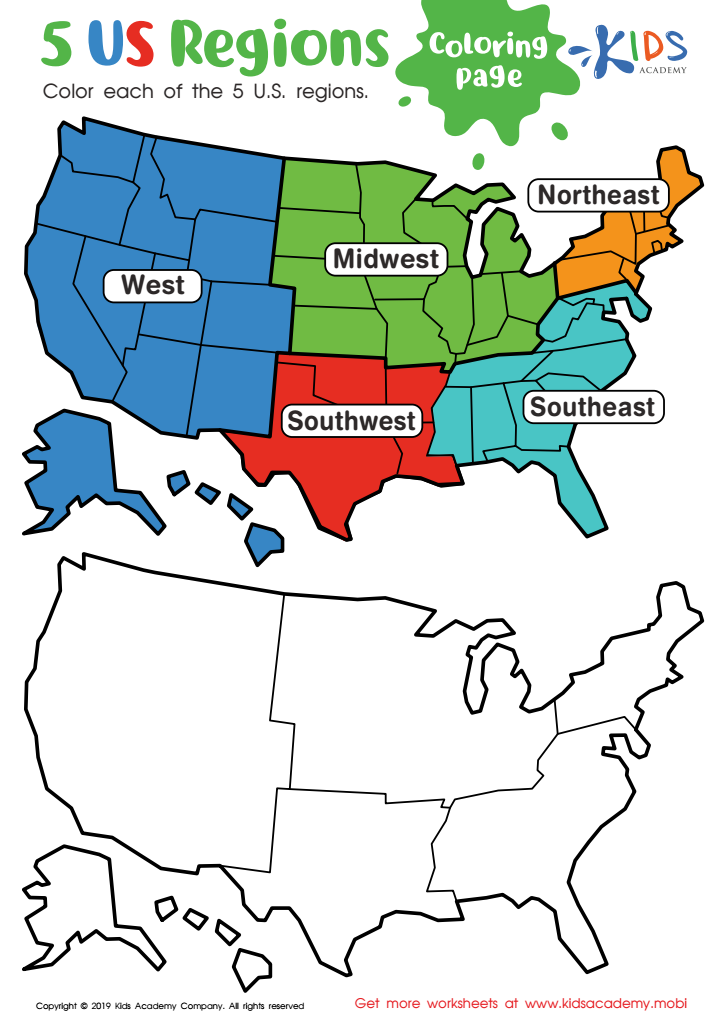

US Regions Coloring Page Worksheet
Our great nation is split into five distinct regions: Southeast, Southwest, West, Midwest, and Northeast. Each is known for its own special offerings and states. Let your kids have fun learning about the regions with a coloring activity! It's a great way for them to understand where each region stands on the map.
US Regions Coloring Page Worksheet
Worksheet
 Assign to My Students

.jpg)

