3.2 Geography and Environment worksheets for Grade 3
15 filtered results
Difficulty Level
Grade
Age
-
From - To
Subject
Activity
Standards
3.2
The location of world communities can be described using geographic tools and vocabulary.
Favorites
With answer key
Interactive
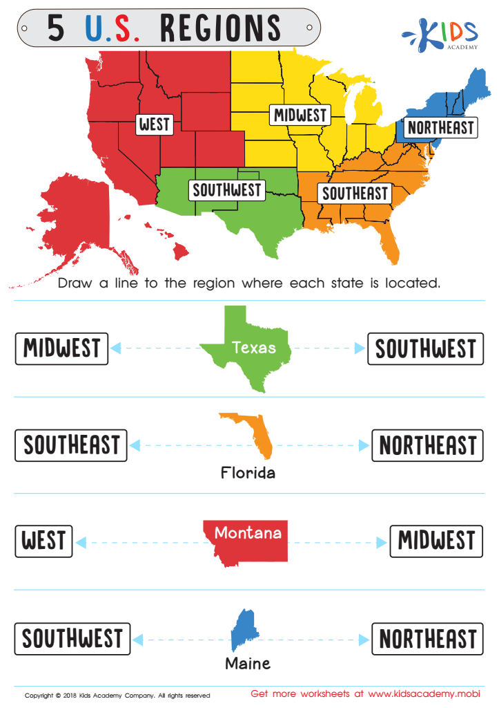

5 U.S. Regions Worksheet
Familiarize students with states & capitals in your country before starting. Look at the map and ask kids to name some states. Then have them draw a line to the region each state is located in. This'll help them recognize the different places and make the exercise easier.
5 U.S. Regions Worksheet
Worksheet
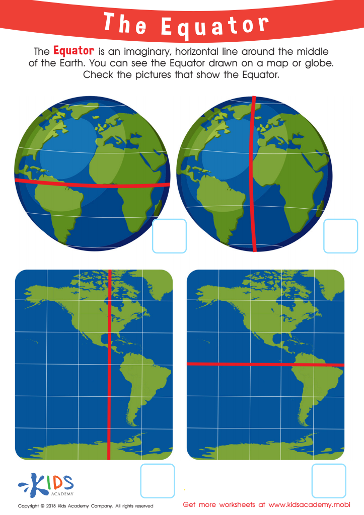

The Equator Worksheet
Young geographers can learn about the Equator with this free, colorful worksheet! They will understand the concept better with picture representation: what the Equator may look like if the Earth could be seen in its entirety, and then check off which one is accurate on a flat world map.
The Equator Worksheet
Worksheet
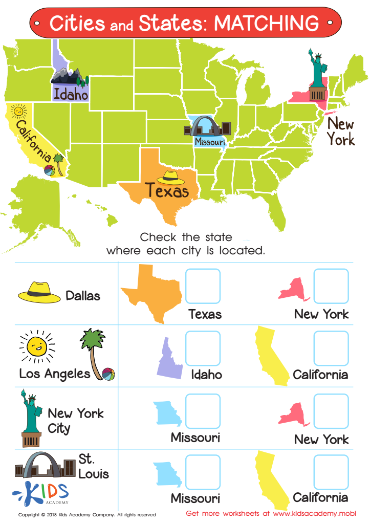

Cities and States: Matching Worksheet
Ask your child if they can name some of the states in your country. If they can, great! If not, use this worksheet to have them learn some states. Show them the map and ask them to observe the shape and color of each state. Then, have them answer the questions by checking the state where each city is located.
Cities and States: Matching Worksheet
Worksheet
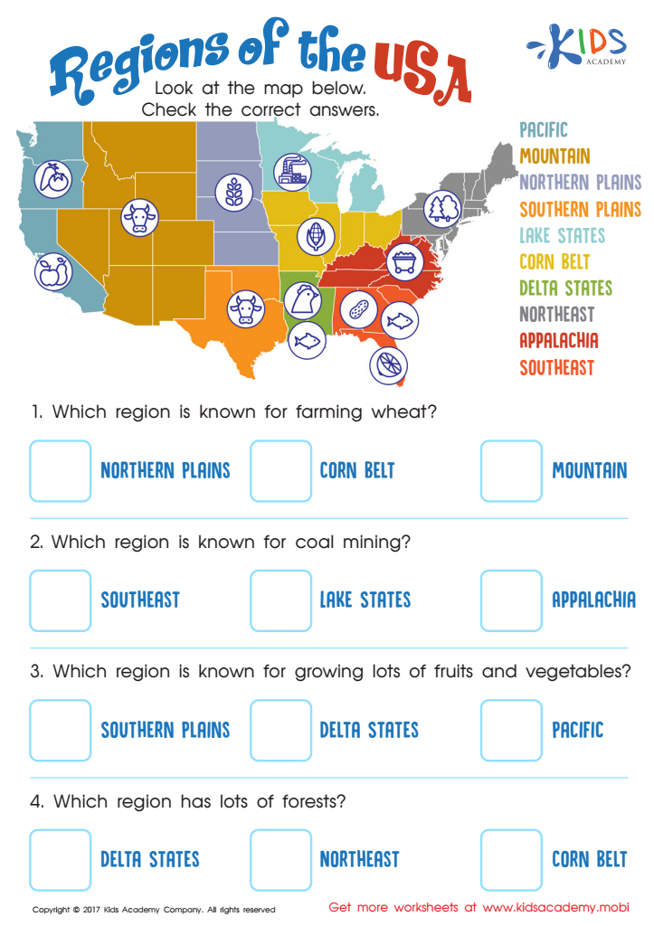

Regions of the USA Worksheet
Help your child explore the US with this regions of the United States worksheet! They'll learn about the diverse cultures, climates and purposes of each region. Make geography and US history fun with this educational exercise!
Regions of the USA Worksheet
Worksheet
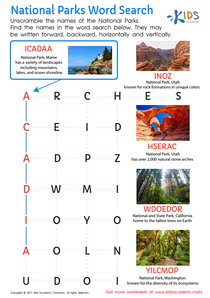

National Parks Word Search Worksheet
Explore the beauty of the USA’s national parks with this fun National Parks word search! Learn more about these majestic sites and boost your knowledge. Take a trip through the sights and sounds of our country with this motivating worksheet.
National Parks Word Search Worksheet
Worksheet
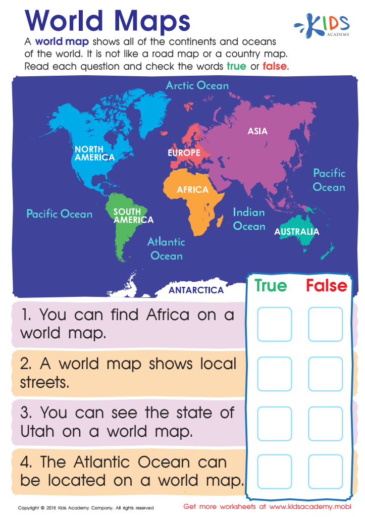

World Maps Worksheet
Help your young geographer learn about world maps. Show them that it displays all the oceans, continents and is distinct from other maps. Challenge them to answer the true/false questions on this free worksheet, and help them become a global citizen who understands the purpose of world maps.
World Maps Worksheet
Worksheet
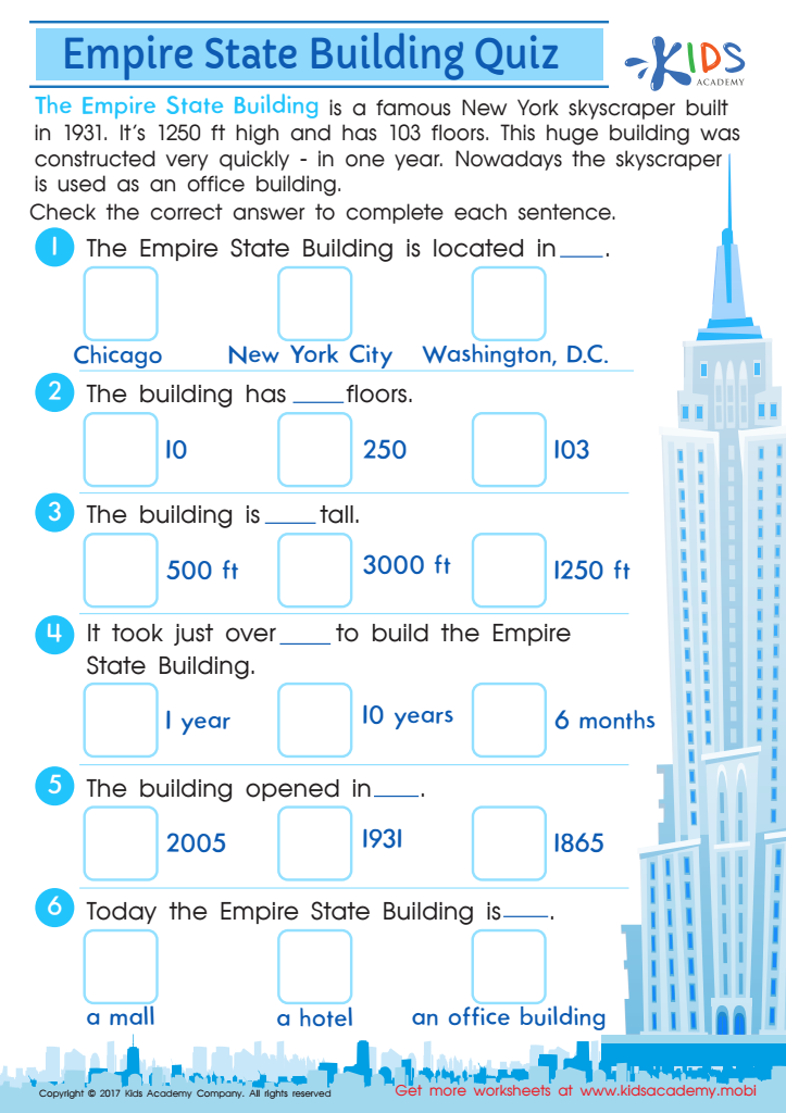

Empire State Building Printable Worksheet
Take a trip to NYC and explore the Empire State Building with this free printable worksheet. Kids will have fun learning about this famous American landmark and its facts. Make national symbols more engaging with this exciting PDF worksheet!
Empire State Building Printable Worksheet
Worksheet
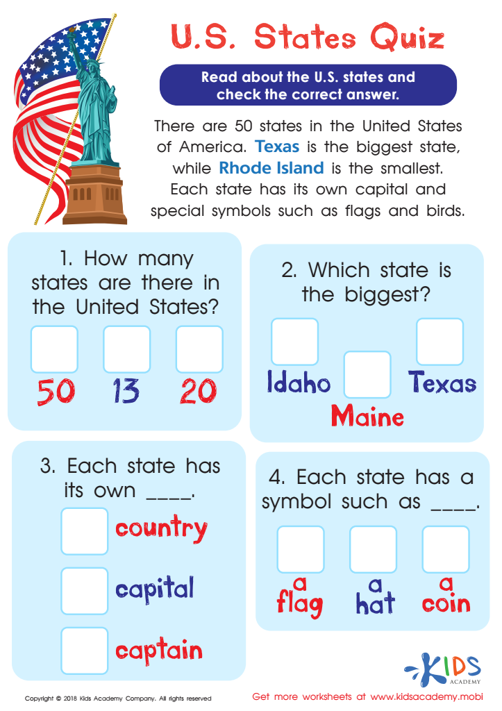

U.S. States Quiz Worksheet
Help your young historians reinforce their knowledge of the U.S. with this fun, free PDF worksheet! It'll assess their understanding of the fifty states and strengthen their visual discrimination skills too - they'll pick out the correct answers, with colorful word-coding. Give it a try!
U.S. States Quiz Worksheet
Worksheet
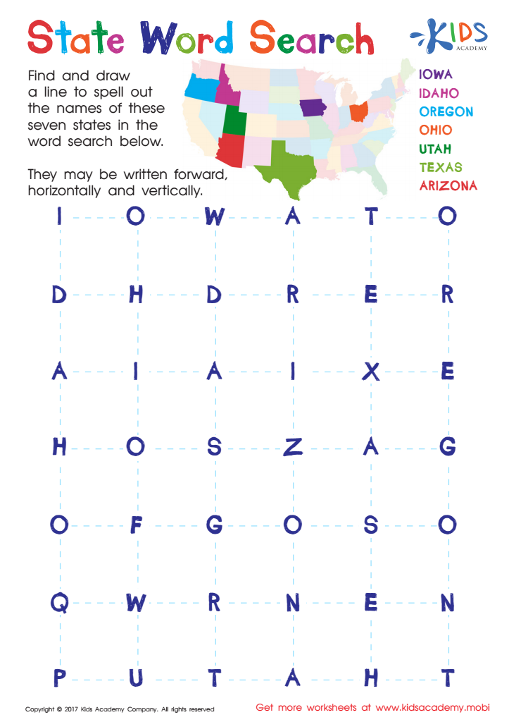

State Word Search Worksheet
Take a road trip across the US with this word search to help your child learn how to identify states. This engaging puzzle makes it easy to remember the 50 states. Get your kids to have fun and learn at the same time!
State Word Search Worksheet
Worksheet
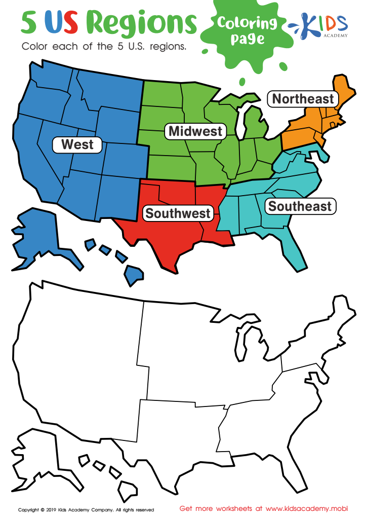

US Regions Coloring Page Worksheet
Our great nation is split into five distinct regions: Southeast, Southwest, West, Midwest, and Northeast. Each is known for its own special offerings and states. Let your kids have fun learning about the regions with a coloring activity! It's a great way for them to understand where each region stands on the map.
US Regions Coloring Page Worksheet
Worksheet
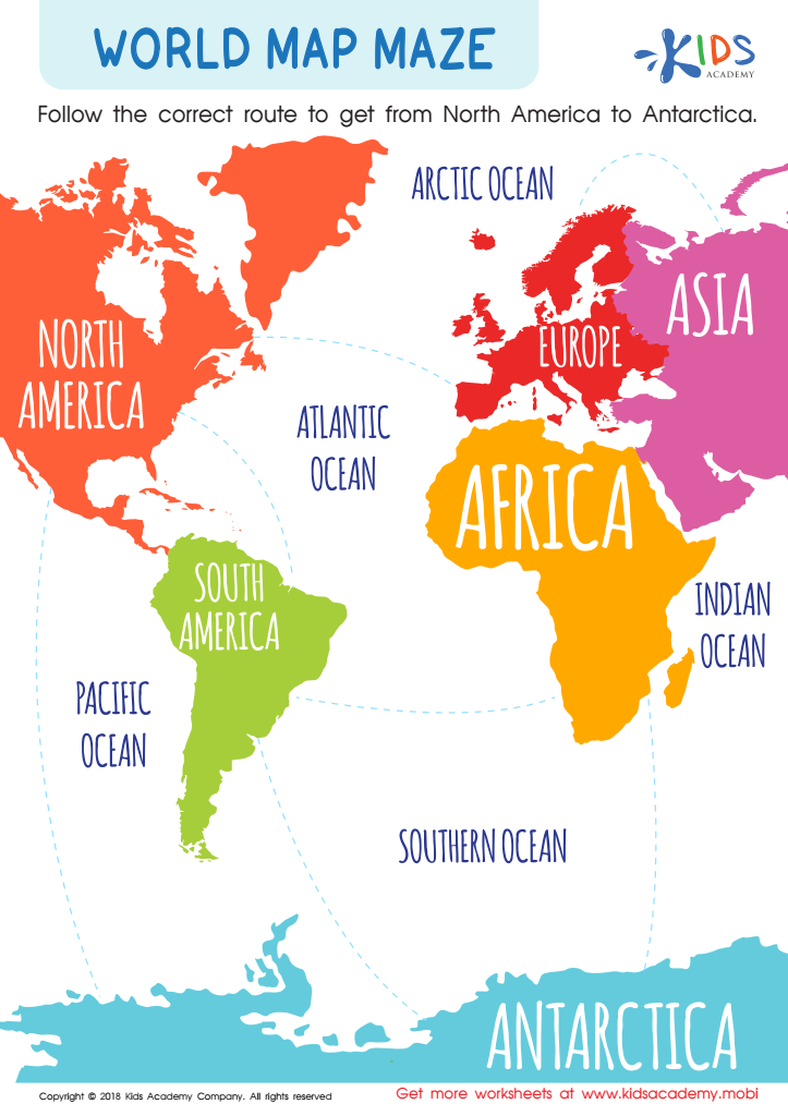

World Map Maze Worksheet
Explore the world with your kids and this free colorful world map maze. Have them trace the lines and travel from North America to Antarctica, learning the locations and names of oceans and continents. It's an exciting expedition!
World Map Maze Worksheet
Worksheet
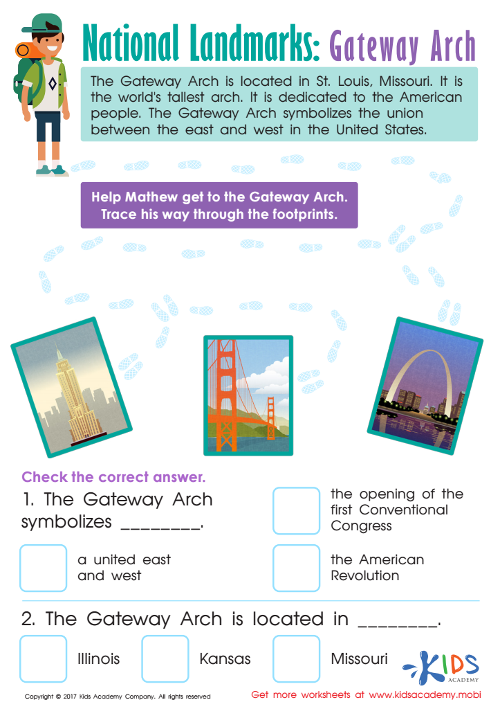

Gateway Arch Printable Worksheet
Explore America with your child! This printable worksheet takes them to St. Louis, Missouri's iconic Gateway Arch. As they learn about its history, they'll be quizzed with fun-filled facts. A great way to discover and appreciate this amazing national landmark! (80 words)
Gateway Arch Printable Worksheet
Worksheet
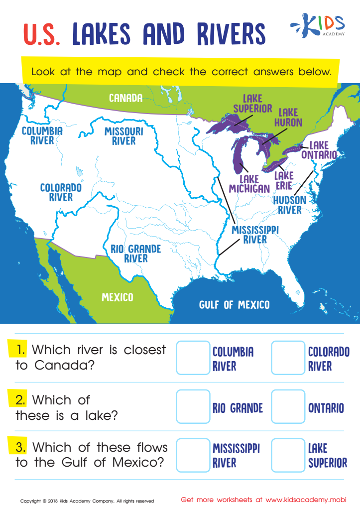

U.S. Lakes and Rivers Worksheet
Help your little geographer get to know the U.S. rivers and lakes! This PDF shows various primary lakes and rivers across the country and helps them differentiate between them. It also introduces them to cardinal directions while they answer questions about proximities and identify well-known geographical landmarks.
U.S. Lakes and Rivers Worksheet
Worksheet
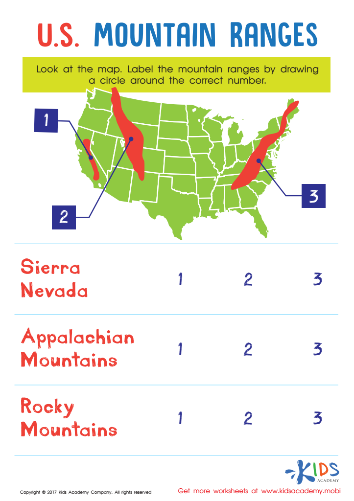

US Mountain Ranges Worksheet
Introduce your little one to the U.S. with this Mountain Ranges worksheet! It'll help them recognize the major ranges and locate them on a map, sharpening their map skills.
US Mountain Ranges Worksheet
Worksheet
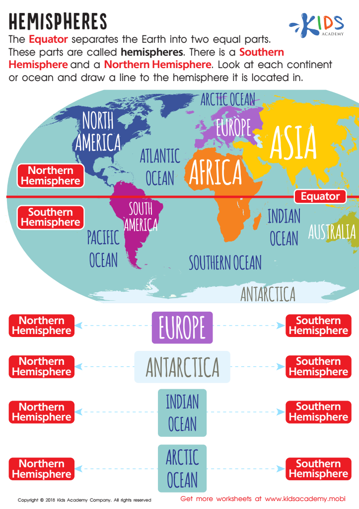

Hemispheres Worksheet
Learning geography can be fun! This worksheet for 3rd graders labels the Equator, Northern and Southern Hemispheres on a map of the world. Students can learn to identify which hemisphere a continent is in. Let's explore the world and have fun with geography!
Hemispheres Worksheet
Worksheet
 Assign to My Students
