Social Studies. 2nd Grade. Introducing Geography to 2nd Graders
May 4, 2022
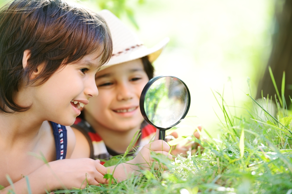
Children are naturally curious especially when it comes to having a sense of everything around them. Their natural thirst for new knowledge is also a great opportunity for parents to teach their children everything there is to know about the world and their surroundings.
Geography is a fantastic springboard subject for kids especially in the 2nd grade when it comes to exploring the environment. Through geography, children can have a better view of the world, grab a full sense of where they are, and secure basic comprehension on key concepts such as longitude and latitude, world oceans, types of landforms, cardinal directions, and many others.
With children being naturally curious of the world around them, teaching them Geography can be a fun learning endeavor for them. It will be much more fun and productive if parents employ interesting visuals such as the globe, maps, and encyclopedias that cover principal lessons of 2nd grade Geography.
The Globe: Longitude and Latitude
When giving your child a bird’s-eye view of the Earth’s entirety, nothing beats the globe. It is a ball-shaped model of Earth and comes complete with all the landmasses and water bodies that the terrestrial planet has. More technically known as the terrestrial globe, this spherical model provides a scaled 2D representation of where they are as well as a sense of direction and distance on the neighboring countries and regions on the opposite side of the planet.
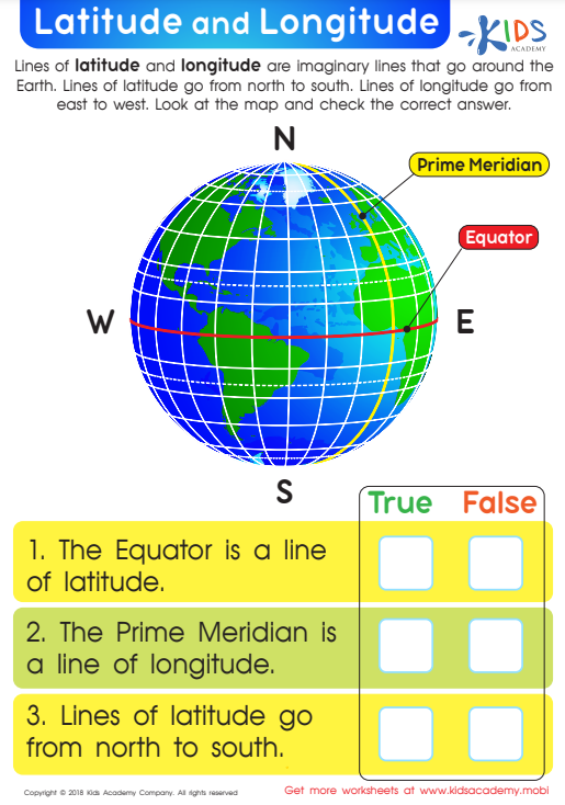
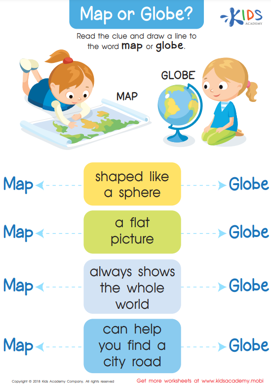
The globe is riddled with imaginary lines that are important for navigation and in detailing geographic information. The most prominent of these lines is the equator which runs around the center of the Earth. Technically, the equator can also be described as the line at 0 degree latitude. The latitude is one of the two major types of lines which are vital in describing the location of a specific place or point in the globe. The latitude is a set of imaginary lines that run in East-West direction. On the other hand, the longitude is a set of lines running in a North-South direction. Both of these lines are present not just in globes but also in maps. Lastly, the Prime Meridian is technically defined as 0 degree longitude or the line drawn from North to South. This cool Latitude and Longitude worksheet by Kids Academy can help your child further retain their knowledge on the globe’s invisible lines. Furthermore, the Map and Globe workbook helps children tell the difference between the two aforementioned geography tools.
Cardinal and Intercardinal Directions
Upon introducing geography through the help of colorful and enjoyable visuals like the globe and the map, it is more likely for children to be curious about the compass rose and the letters N, E, W, and S that come with it. Also called as the wind rose or compass star, the star-like symbol is a navigational tool that provides directions on a map.
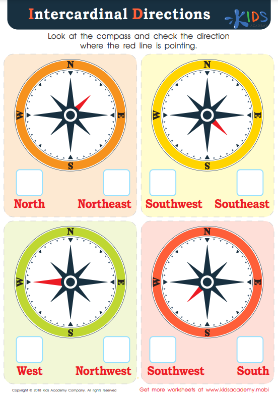
Its four major points are the North, East, South, and West which are collectively referred to as cardinal directions. These directions are positioned at 90 degree angles with each other. Furthermore, the points in between North (N), East (E), West (W), and South (S) are called intercardinal or ordinal directions. These are the Northeast (NE), Southeast (SE), Northwest (NW), and Southwest). This Intercardinal Directions worksheet provides a colorful approach in helping kids gain a firmer grasp on compasses and directions.
World Oceans and the Arctic Region
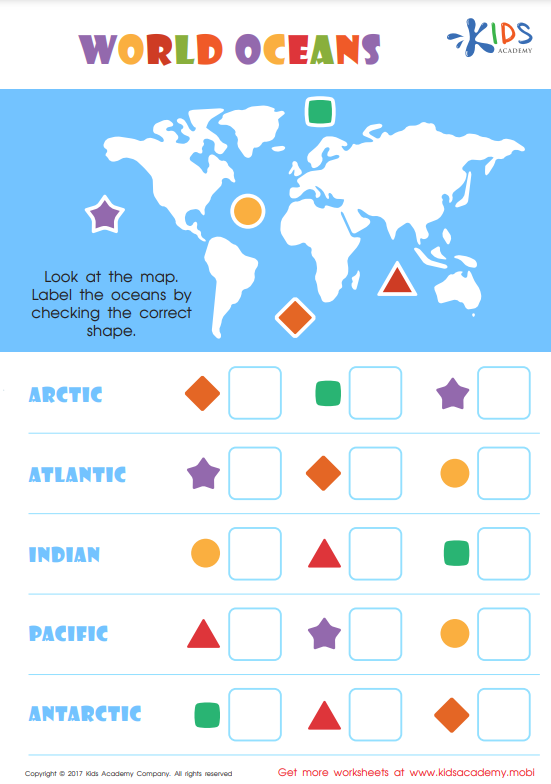
The total surface area of Earth is 510 million square kilometers and more than 70% of it is covered by water. The ocean is a vast region of saltwater or sea and is a key player in the world’s weather. Collectively, this huge body of water is known as the global ocean and is divided into five major regions. These are the Arctic Ocean, the Southern or Antarctic Ocean, the Indian Ocean, the Atlantic Ocean, and the Pacific Ocean.
In terms of size, the Pacific Ocean ranks as the largest with a total area of 168, 723, 000 square kilometers and is followed by the Atlantic Ocean with an area of 85,133,000 square kilometers. On the other hand, the Arctic Ocean is the smallest of the five with just a total area of 14 million square kilometers. Although the Atlantic Ocean lands second in terms of size, it is considered as the world’s richest fishing waters yielding millions of tons of fish every year.
To help your child become familiar with the aforesaid five major oceans and their locations on the globe, this World Oceans worksheet can be the perfect instructional tool for the task. It’s a simple but fun matching type of assessment that kids will surely love.
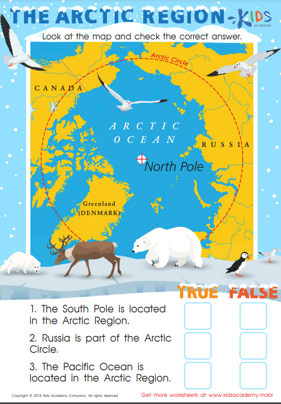
Going back up north, the Arctic region is composed primarily of the Arctic Ocean and supplemented by northernmost regions of the so-called Arctic States which include Iceland, Norway, Finland, Canada, Denmark, Russian Federation, and Alaska. The Arctic Region plays a critical role in maintaining proper circulation of global ocean currents. Just like in the Antarctic Region (South Pole), the Arctic Region (North Pole) is freezingly cold since the place doesn’t get direct sunlight. The lowest extreme temperature of the region can be as low as -54 degrees Celsius.
The term arctic was coined from the Greek word ‘arktikos’ which means bear. Why? This is simply because the Arctic Region is the only place where polar bears can be found. The ferocious hypercarnivore is an expert hunter. However, their species is now classified as vulnerable or at high risk of extinction with a population of just merely 26,000. To make your child’s northern exploration more fruitful and enjoyable, here’s the Arctic Region worksheet by Kids Academy.


